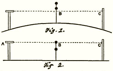
A classic experiment to demonstrate the curvature of a body of water is to place markers (like flags) a fixed distance above the water in a straight line, and then view them along that line in a telescope. If the water surface is flat then the markers will appear also in a straight line. If the surface of the water is curved (as it is here on Earth) then the markers in the middle will appear higher than the markers at the ends. Here's a highly exaggerated diagram of the effect by Alfred Russel Wallace in 1870:

This is a difficult experiment to do as you need a few miles for the curvature to be apparent. You also need the markers to be quite high above the surface of the water, as temperature differences between the water and the air tend to create significant refraction effects close to the water.
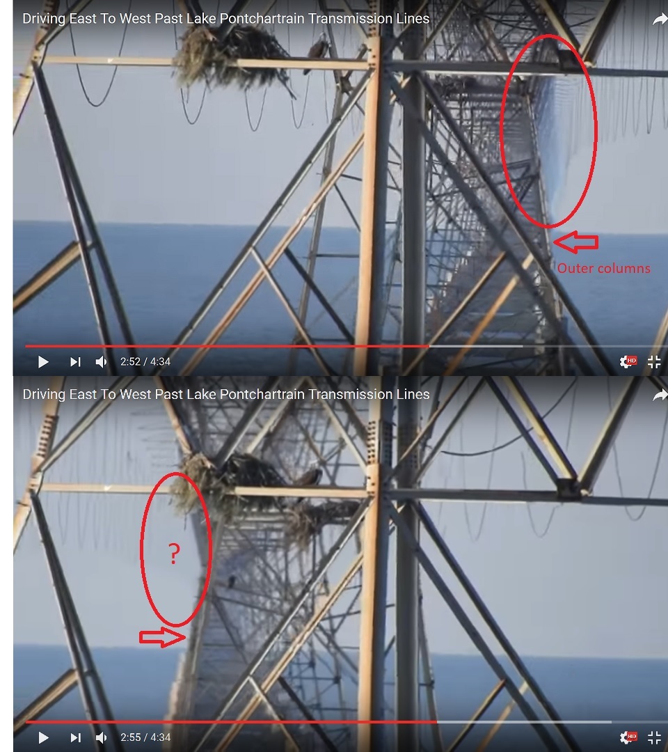
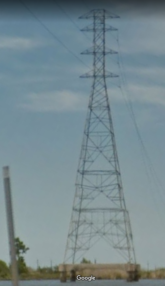
However Youtuber Soundly has found a spot where there's a very long line of markers permanently fixed at constant heights above the water line, clearly demonstrating the curve. It's a line of power transmission towers at Lake Pontchartrain, near New Orleans, Louisiana.
Source: https://www.youtube.com/watch?v=kADO7nkt-rk
The line of power lines is straight, and they are all the same size, and the same height above the water. They are also very tall, and form a straight line nearly 16 miles long. Far better than any experiment one could set up on a canal or a lake. You just need to get into a position where you can see along the line of towers, and then use a powerful zoom lense to look along the line to make any curve apparent
One can see quite clearly in the video and photos that there's a curve. Soundly has gone to great lengths to provide multiple videos and photos of the curve from multiple perspectives. They all show the same thing: a curve.
One objection you might make is that the towers could be curving to the right. However the same curve is apparent from both sides, so it can only be curving over the horizon.
Case closed? You would think so. But some raised the possibility that the images are faked - they are taken from a freeway, so require a little effort to duplicate. Soundly then went to incredible lengths to demonstrate they are not fake. Ultimately he did a live stream of himself taking the video, then driving to a cafe where he uploaded it to Youtube.
Here's the live stream:
Source: https://www.youtube.com/watch?v=u61oOOjwm7Q
Here's the video he uploaded:
Source: https://www.youtube.com/watch?v=VJQ4SMR2_aw
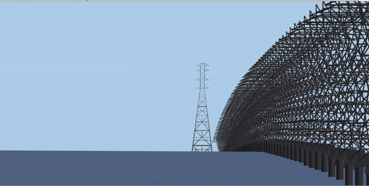
The power lines are a dramatic example, but the view from the freeway is a bit dangerous, so here's a much safer location a few miles away, the Little Tensa Bayou under the Atchafalaya Basin Bridge
Source: https://www.youtube.com/watch?v=aYGnCSMW4Fo
https://www.google.com/maps/@30.3995162,-91.5119206,413m/data=!3m1!1e3
There are many other videos on Soundly's channel, including a new series on the Pontchartrain causeway and other locations. If anyone asks "where the curve", then you can answer: here.
UPDATE: Two more videos from the Little Tensa Bayou from @James Mercer demonstrate the same thing
Source: https://www.youtube.com/watch?v=s1HgJsfX094
Source: https://www.youtube.com/watch?v=lKYpMl0gJGE
Attachments
-
501.8 KB Views: 100
Last edited:


